
In the effort to preserve quality of drinking water reservoirs and recreational waterways across the state, the North Carolina Department of Environmental Quality Division of Water Resources relies on an important ally: plants.
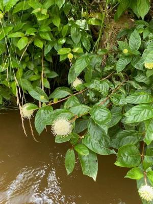
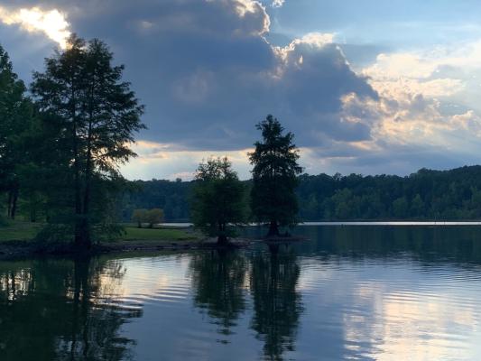
Riparian buffers refer to areas of vegetation (aka, plants) that are found along waterbodies including streams, rivers and lakes. As water runs through the buffer, these plants help absorb sediments, potential contaminants and nutrients such as nitrogen or phosphorus, which can trigger algal blooms.
In certain waterways in North Carolina, the state requires residents and landowners to maintain buffers within a certain distance of the waterway. Specifically, there are six distinct areas with buffer protections in North Carolina: alongside the Catawba River and its mainstem lakes, in the Goose Creek watershed, in the Jordan Lake and Randleman Lake watersheds, and in the Neuse and Tar-Pamlico River basins.
“Buffers were put in place to serve and protect the community and homeowners. They protect water quality and help stabilize streambanks,” said Joseph Myers, environmental program consultant with the North Carolina Department of Environmental Quality Division of Water Resources Raleigh Regional Office. “Riparian buffers filter stormwater runoff before it enters the stream. The vegetation within the buffer absorbs and stores excess nutrients and sediment, controls erosion, moderates water temperature and provides habitat for wildlife. They also aid in flood control and protect properties.”
In time for National Water Quality Month, Environmentally Speaking set out to highlight the role of the state’s riparian buffer programs that protect waterways in key areas.
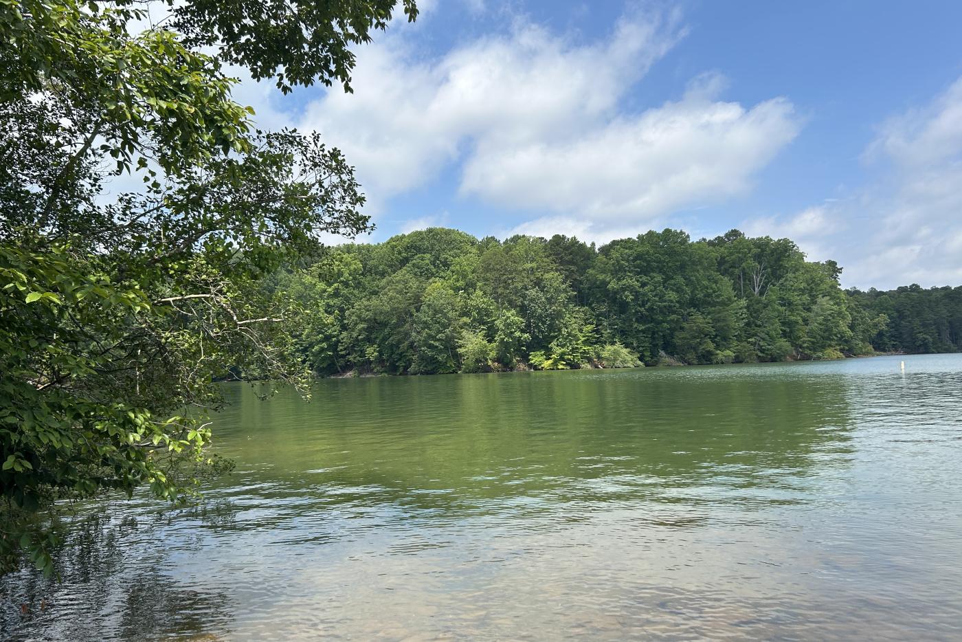
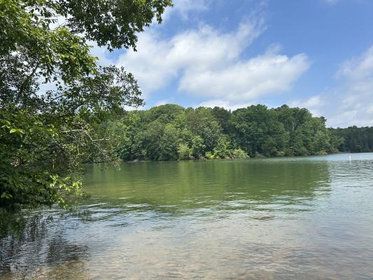
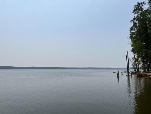
Catawba River
The Catawba River buffer rules protect the main stem of the Catawba River from Lake James down to the border of South Carolina, including Lake Norman and other main-stem lakes.
The riparian buffer rule for this area requires 50 feet of vegetated buffer along the mainstem of the river, and the main-stem lakes.
There are two zones within the buffer: zone 1 is the initial 30 feet off the waterbody and is required to remain completely undisturbed. Zone 2 includes the remaining 20 feet, and activities can be permitted as long as vegetation remains or is restored.
The function of the Catawba River buffer is to protect the river and its associated lakes through nutrient uptake and removal. Nutrients, like nitrogen and phosphorus, can contribute to growth of algal blooms, along with other factors including temperature and low water flow. Fertilizer runoff, animal waste, leaking septic systems and other point and non-point sources can add excess nutrients into the water.
“Riparian buffers are important because of their filtering capabilities and support for biodiversity,” said Jesse McDonnell, environmental specialist with DWR’s Mooresville Regional Office.
Recreational activity is very popular within this river basin, McDonnell said. The buffer helps to protect this important use of the water.
“All of the lakes are busy, really popular places for swimming, boating and other recreational activities,” McDonnell said. “These buffers help protect the water quality to support these activities, and all of the restaurants, marinas, on the lakes and on the rivers that depend on them.”
Goose Creek Watershed
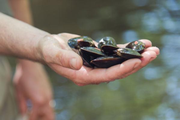
Goose Creek is a unique buffer program in the state. It was established to protect the federally endangered Carolina Heelsplitter freshwater mussel.
The mussels are endemic to North and South Carolina, according to the U.S. Fish and Wildlife Service, meaning those are the only locations they can be found. Only 11 populations are known to be surviving, just one of which is in North Carolina, according to the USFWS.
McDonnell explained the buffer program is in-place to help protect the mussels from pollution, and to protect their habitat.
Due to the presence of the endangered species, the buffer regulations in this area are more restrictive. The buffer zone is 200 feet in areas within the 100-year floodplain, and extends to 100 feet in other areas.
Neuse River Basin
The purpose of the Neuse River Basin buffer is to remove nutrients and sediment from the water to protect downstream estuaries. The Neuse River Basin, and all the waters that drain into it, are protected by these buffer rules.
“The buffer rules apply to all streams that would be mapped on two types of maps: the most recently published U.S Geological Survey topographic map, and the most recent NRCS soil survey,” Myers said.
The rule protects 50 feet of vegetated buffer measured from the top of the bank of a waterway in every direction, on both sides of a stream or pond, or river within the basin. It is also broken down into two zones, with the first zone requiring 30 feet of undisturbed vegetation. The next 20 feet, known as zone 2, is required to be a stable vegetated area, but certain activities are allowed as described in the rule.
Algal blooms and large-scale fish kills triggered the creation of this buffer program, which was the state’s first. The Neuse Buffer Rule was initially adopted as a temporary rule in 1997.
Nutrient removal provides clean habitat to the aquatic life in the basin. One species that benefits is the Neuse River Waterdog. This aquatic salamander is only found in the Neuse and Tar-Pamlico River basins, according to the USFWS, with only a few isolated populations remaining. Degradation of their habitat is the biggest threat to the species, the USFWS states, as they are sensitive to sediment pollution. The riparian buffer, known as nature’s sponge, can help soak up sediment.
In addition to helping provide habitat, the buffers can also play a role in protecting property.
“A lot of people are unaware of how important vegetation is for streambank stabilization,” Myers said.
Tar-Pamlico River Basin
Similar to the Neuse River Basin, in the Tar-Pamlico River Basin, the riparian buffer program specifically functions to remove nutrients and covers all drainage into the basin.
In this river basin, also like the Neuse River Basin, the rule protects 50 feet directly adjacent to all surface waters in the basin, excluding wetlands, and is broken into two zones.
Although the buffer does not protect wetlands directly, those connected to the basin downstream can benefit. These estuaries and wetlands support habitat for many endangered and threatened species.
“They’re protecting the estuaries in the same way they’re protecting the rivers, by sequestering nutrients and sediment before they overload the system,” said Allen Stewart, environmental specialist in DWR’s Washington Regional Office. “They help protect submerged aquatic vegetation, which provides habitat for a lot of your marine animals as well as spawning area.”
In addition to helping to soak up nutrients and sediment, they can also provide cover for marine life and lower the water temperature.
Stewart reminds homeowners near waterways that vegetation in the buffer can help protect the quality of the water that they live beside.
“Everyone wants an unobstructed view, but if everything were to be cut down, their view might just be of an algal bloom,” he said.
He added that the rules do allow homeowners to clear poison ivy, poison oak, or invasive species. The full set of uses within the buffer are described in a table of uses in the rule.
“You can limb up the trees so you can see through them,” he said. “But you can’t clear cut everything right down to the shoreline.”
Jordan Lake
The riparian buffer program for the Jordan Lake watershed includes the entire drainage area of the streams that feed into the lake. This program protects the local water supply source from pollution.
The state’s rule in this area also protects 50 feet of riparian buffer adjacent to surface waters that feed into Jordan lake - including streams, lakes, reservoirs and ponds - and is broken into two zones.
“The vegetation acts like a filter and sponge to remove, transform, or store nutrients and other pollutants,” says Myers.
In this buffer, local authority plays a larger role.
Myers mentions that while the program must comply with standards set by the state, local governments have authority to implement the rules in the Jordan Lake watershed.
These local governments may also have rules that are more stringent than the state’s rules and can be found in the local programs UDO (Unified Development Ordinance).
Randleman Lake
Similar to Jordan Lake, the buffer rules for Randleman Lake protect the reservoir as a drinking water supply.
The riparian buffer rules were implemented as part of the commitment for building Randleman Lake as a water supply for the Piedmont Triad region, said Sue Homewood, 401 & Buffer Permitting Branch senior branch coordinator.
The buffer rules in this watershed protects 50 feet of vegetated buffer alongside streams flowing into the lake, and 200 feet along the lake itself.
Where to learn more
The specific riparian buffer rules for each program are listed online. If you are curious about the regulations in your area, feel free to browse the site.
Myers references the table of uses on the DWR website that outlines homeowner’s flexibility to work and build in their yard. For example, property owners can remove dead, dying or diseased trees that are posing a threat to their properties.
Each buffer program has their own table of uses which are directly linked below.
If any confusions or questions remain McDonnell reminds homeowners, “don’t be afraid to call.”