
Today, the NC Department of Environmental Quality (DEQ) celebrated, alongside the City of Hendersonville, the completion of the city’s Lower Mud Creek Floodplain Restoration project, which transforms 27 acres of city-owned floodplain along Mud Creek into restored wetlands, streams, floodplain habitat and publicly accessible green space.
Through DEQ’s Division of Water Infrastructure, Division of Water Resources and the NC Flood Resiliency Blueprint, DEQ has contributed more than $2.8 million towards this project.
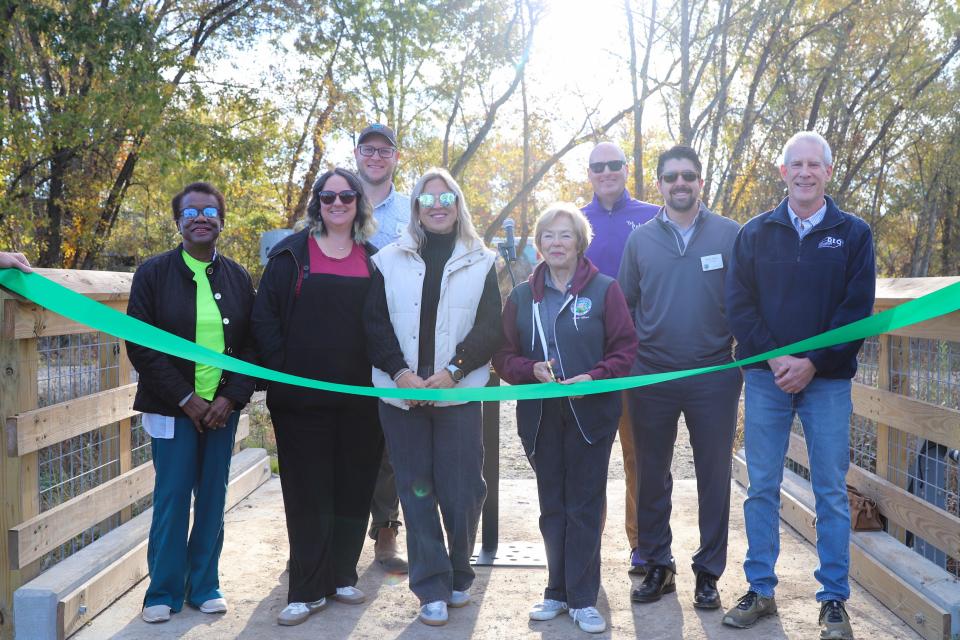
DEQ Secretary Reid Wilson joined Mayor Barbara Volk, City Manager Brian Pahle and Stormwater Director Michael Huffman at the ribbon cutting ceremony.
“This project will reduce chronic flooding in nearby residential and commercial areas, increase floodwater storage capacity, and improve water quality by addressing stormwater runoff and habitat degradation," said DEQ Secretary Wilson. “It will also ensure long-term protection and allow for restoration and public open space recreation. The project demonstrates how State and local governments can work together to make communities more resilient to increasingly severe weather, thus saving lives, saving homes, saving businesses and saving money.”
The project reduces flood risk by reconnecting floodplains, restoring more than 2,000 linear feet of streams, stabilizing 1,500 linear feet of Mud Creek streambank and enhancing approximately 20 acres of wetlands and riparian areas. These improvements reconnect floodplain areas previously separated by berms and create wetlands that store and gradually release stormwater during smaller storms, while providing space for floodwater to spread across the broader floodplain during larger events. The project also includes water-control structures, native vegetation, pedestrian bridges, 2,500 linear feet of paved greenway and 1,600 linear feet of natural-surface trail.
“This project represents a different way of thinking about floodplain management and community resilience” said Michael Huffman, Stormwater & Parks Director for the City of Hendersonville. “Rather than trying to move water downstream as quickly as possible, we are giving it room to spread out in a place that is naturally intended to flood. At the same time, we’ve been able to restore habitat, improve water quality, and create a space the community can enjoy.”
The restored floodplain is expected to provide approximately 20 acre-feet (6.5 million gallons) of additional flood storage and contribute to reduced flood risk for as many as 93 nearby properties representing approximately $60 million in assessed value.
The project is also funded and supported by the NC Land and Water Fund and the Golden LEAF Foundation.
About the NC Flood Resiliency Blueprint
In 2021, the NC General Assembly directed the NC Department of Environmental Quality to develop a statewide Flood Resiliency Blueprint. The Blueprint serves as the backbone of North Carolina’s flood resiliency planning and is based on the best available science, stakeholder engagement and sound decision-making to develop actionable projects. At the heart of the Blueprint is an online decision support tool to help local governments, agencies and nongovernmental partners develop, evaluate and prioritize resilience actions as well as plan and marshal funding to implement those priorities. The Blueprint is currently funded and authorized to work in six of North Carolina’s 17 river basins. River Basin Action Strategies are being developed for the six initial basins. The Blueprint will make North Carolina more resilient to flooding by funding projects that limit flood extent and severity, allowing communities to recover more quickly and limit future risk as storms become more frequent and severe. DEQ has awarded funding to 86 Blueprint projects in six river basins totaling $45 million.